Mae Hong Son Loop — Adventures — Matt Dalby
Matt Dalby Singapore
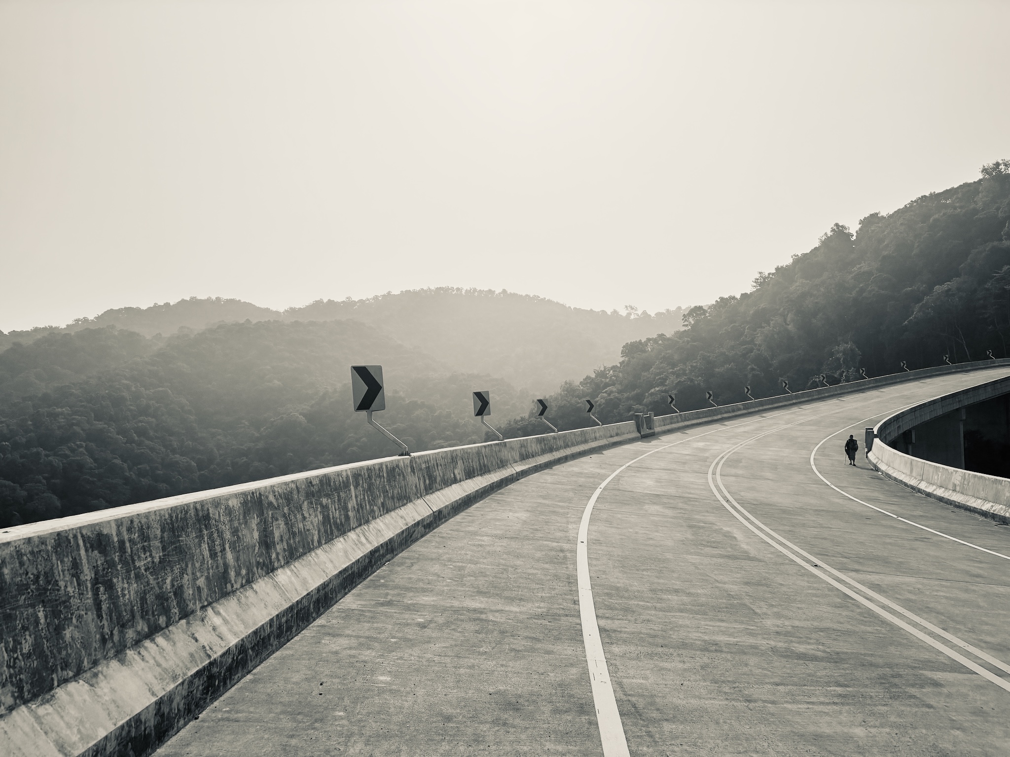
An empty concrete mountain road sweeping through hazy forested hills in northern Thailand
Adventures  ·  Mae Hong Son Loop

The loop, light.

Five days round the classic Mae Hong Son Loop from Chiang Mai — packed light and fast, up through Pai and the northern hills. A serious climbing challenge, and good training with GranGuanche on the horizon.

Route
Mae Hong Son Loop
Distance
521 km
Days
5
Style
Solo · lightweight
When
Mar 2025
The route Chiang Mai → Pai → Mae Hong Son → Chiang Mai
Route sketch A hand-drawn map of the loop will go here.

The classic Chiang Mai loop — a road bikers and motorbikers both love — packed light for five days of hills, hairpins and haze.
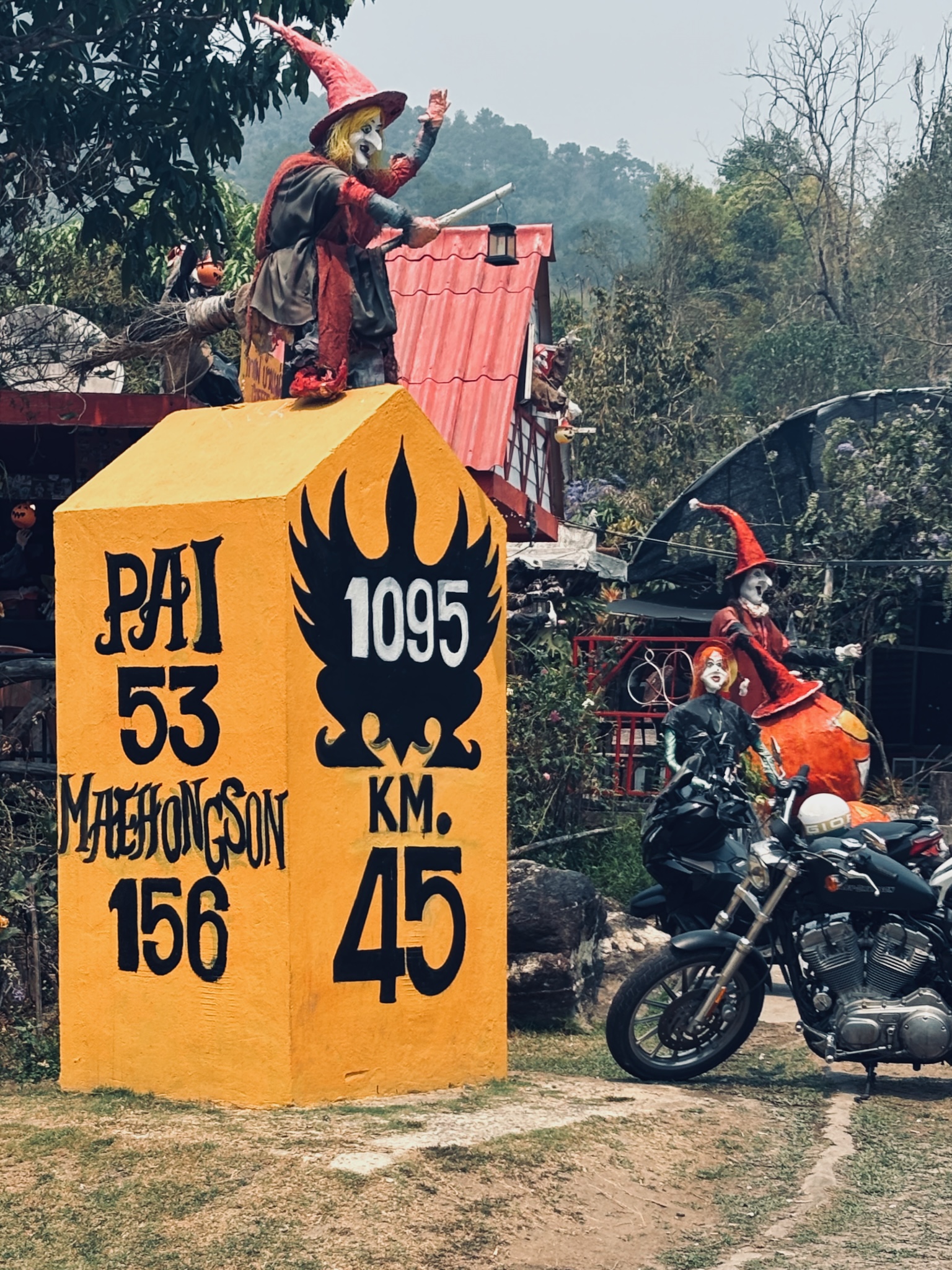
The painted 1095 milestone with a witch figure, Pai 53 km, Mae Hong Son 156 km
The 1095Pai 53 · Mae Hong Son 156
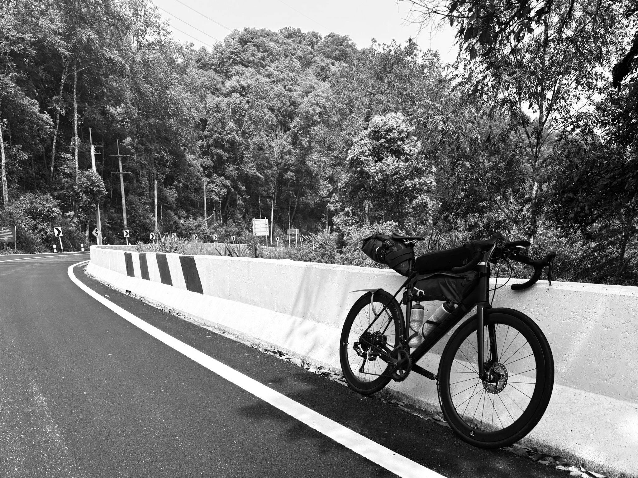
The bike leaned on a white crash barrier on a forested mountain road, in black and white
Up and overSomewhere on the 1095

Out of Chiang Mai and straight onto the 1095 — the road that draws every rider north, its curves counted and painted on the milestones. I'd started and finished at Vanilla Residence, the usual base, and rolled out light: no camping kit, just enough to move fast. The loop earns its reputation — long climbs stacked back to back, the biggest close to 3,000 metres — exactly the legs-under-load riding I wanted before the Canaries.
The five days Elevation · distance
{{ d.n2 }}
{{ d.route }}
{{ d.sub }}
{{ d.note }}
{{ d.km }}
Total
{{ totalSub }}
{{ totalKm }}
Selfie in front of the Medio de Pai boutique hotel sign, bike alongside
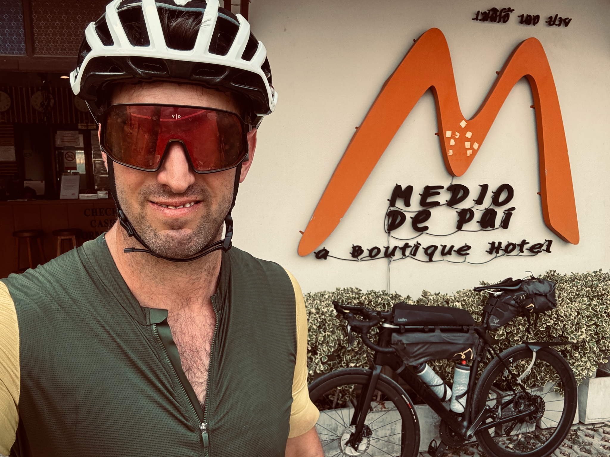
Pai for the nightMedio de Pai
Pai walking street at night, lights and bar tables, in black and white
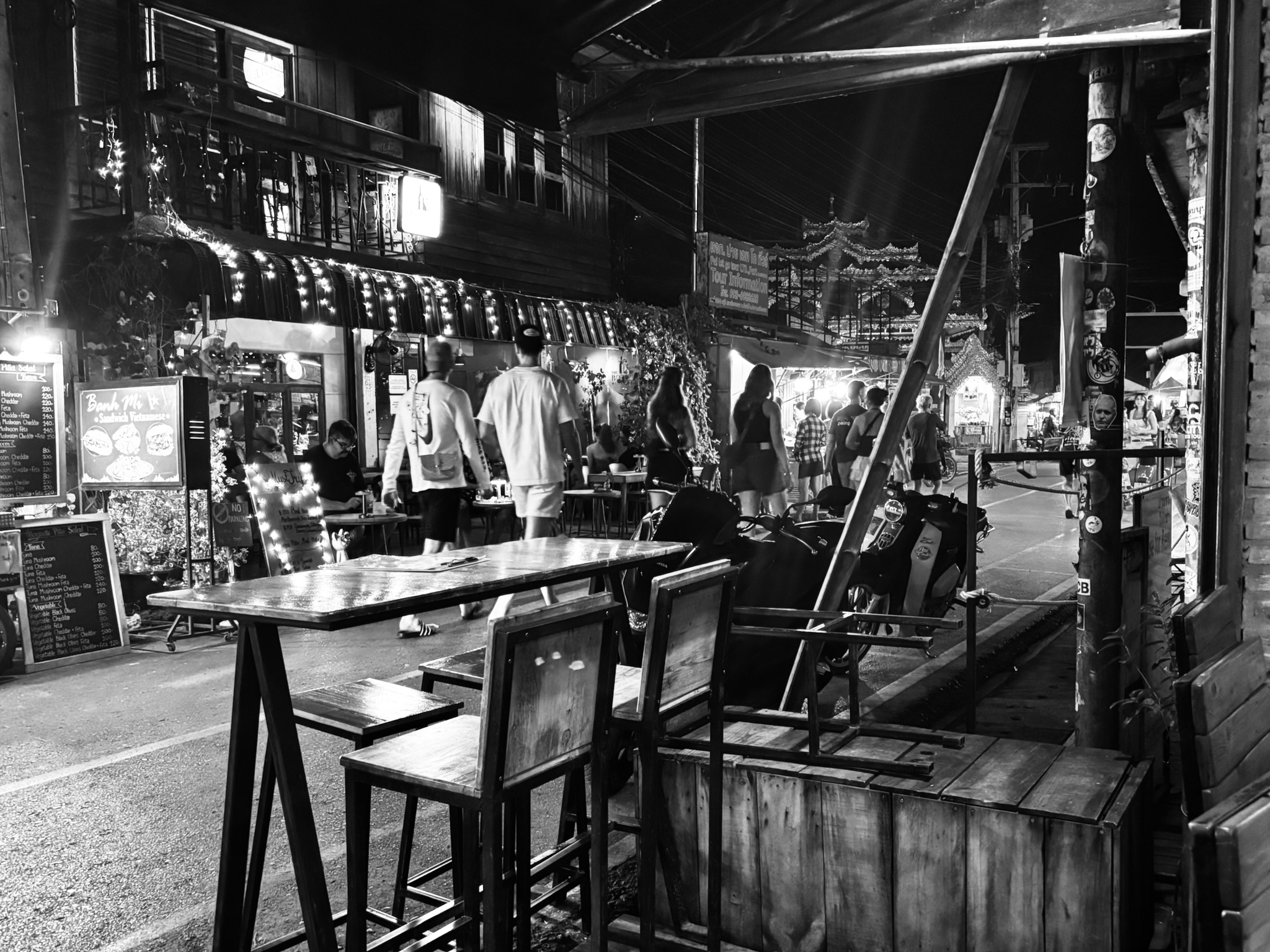
Walking streetPai, after dark

Pai is the natural first stop, a backpacker town in a mountain bowl — a boutique room, a wander through the night market, and an early night before the long push on to Mae Hong Son.
Selfie at a stone viewpoint wall reading Thailand, hazy hills beyond
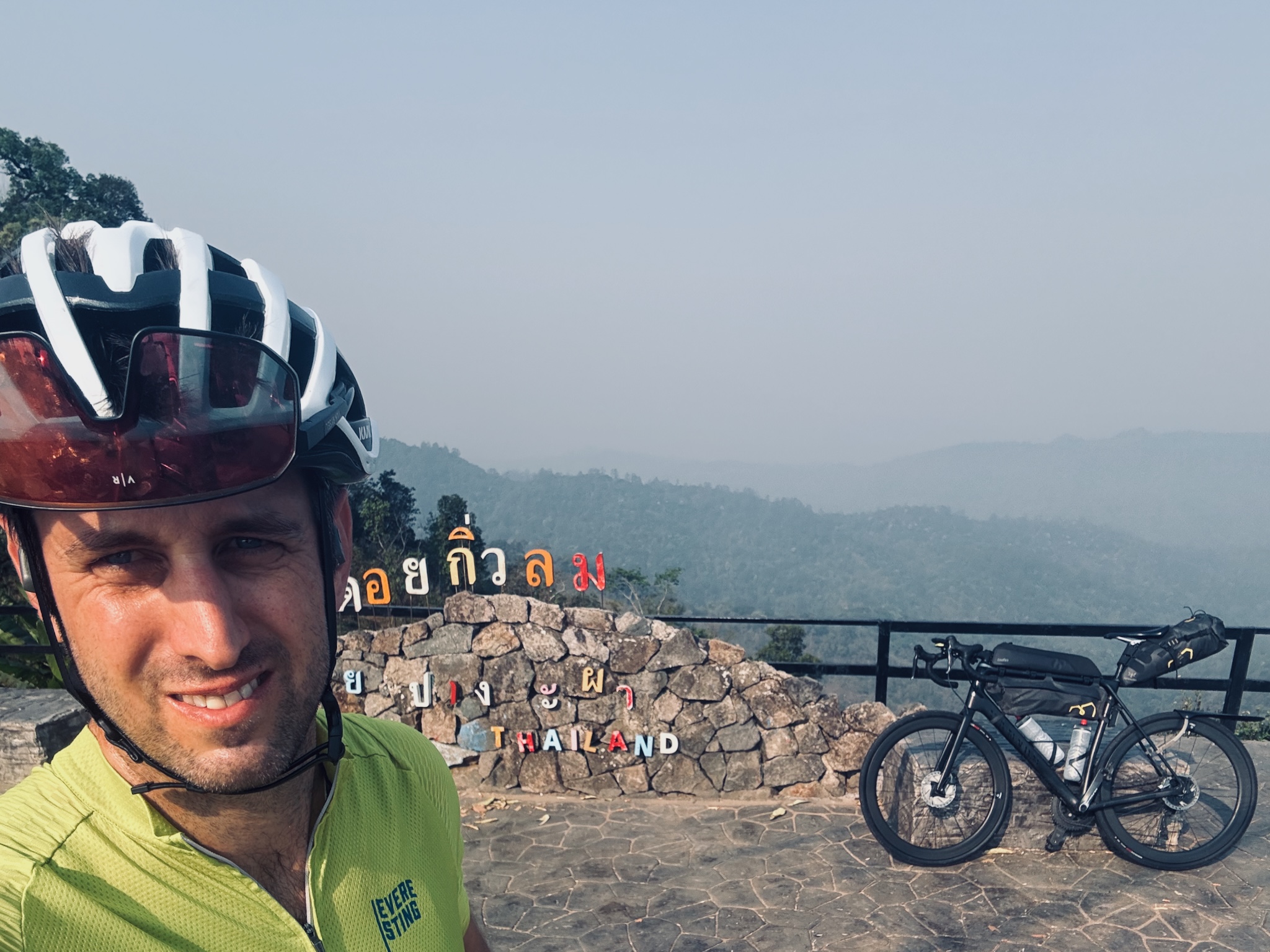
Top of the climbA ridge viewpoint · the haze beyond
A roadside shelter above terraced fields in hazy dry-season hills
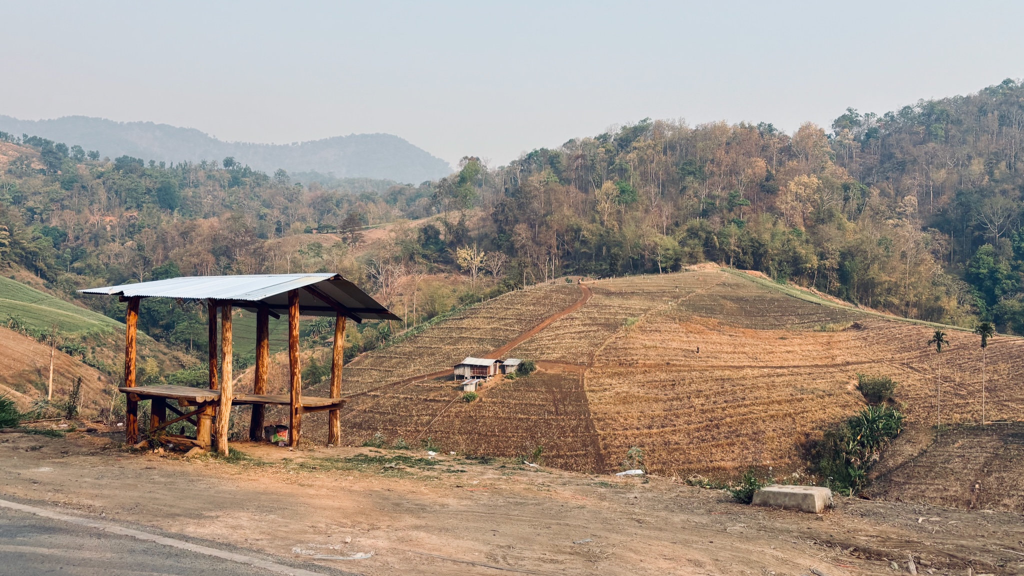
Burn seasonTerraced fields in the haze
When to go

This was burning season — the northern haze sits heavy from roughly February to April, and it flattens the views and the photos. I only had the time off then, so I went anyway. Worth knowing: for clear air and colour, ride the loop outside Feb–Apr.
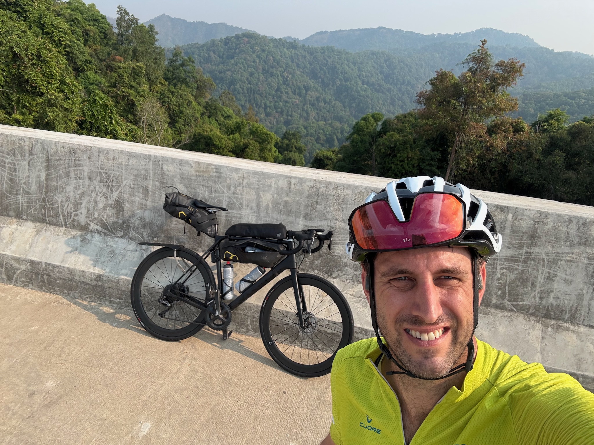
Selfie on a high concrete bridge with green forested hills behind
The high bridgeOver the valley

The far side of the loop is quieter still — new concrete viaducts curving out over the valleys, barely a vehicle on them, the forest closing back in. Lonely, spectacular riding, even under a white sky.
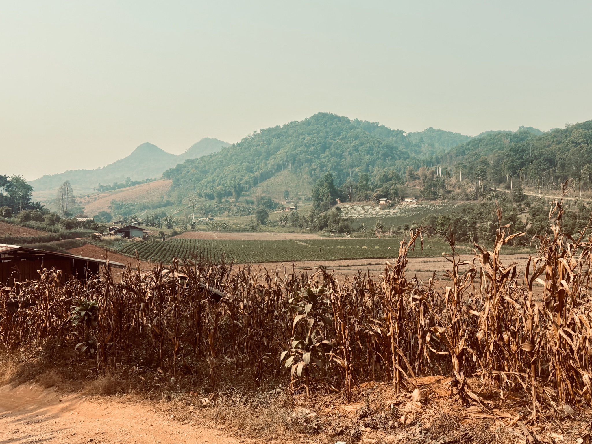
A green valley of fields and dry corn stalks under hazy hills
The high fieldsBetween the passes
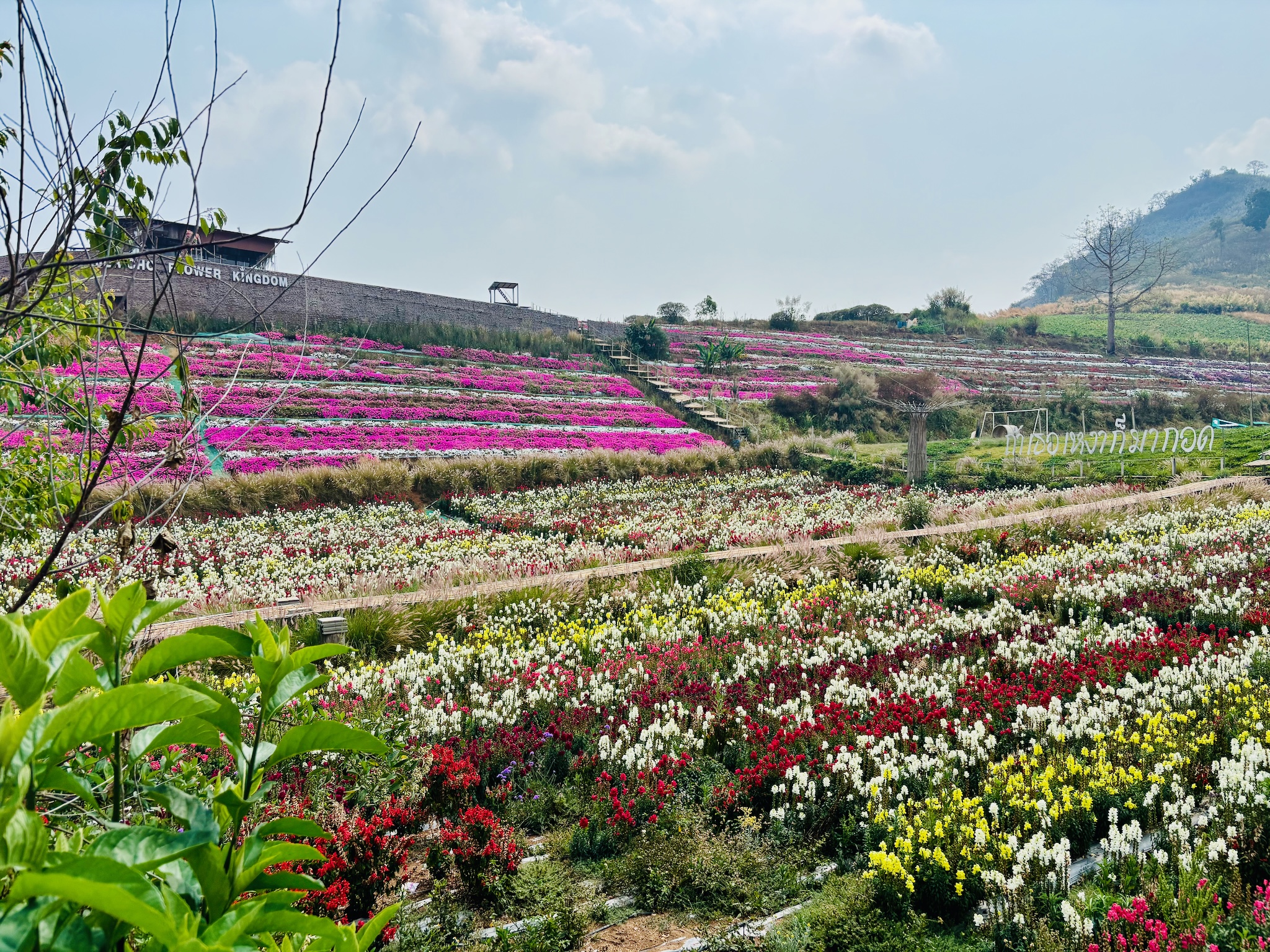
Terraced beds of pink, red, white and yellow flowers on a hillside
Flower kingdomA hillside in bloom
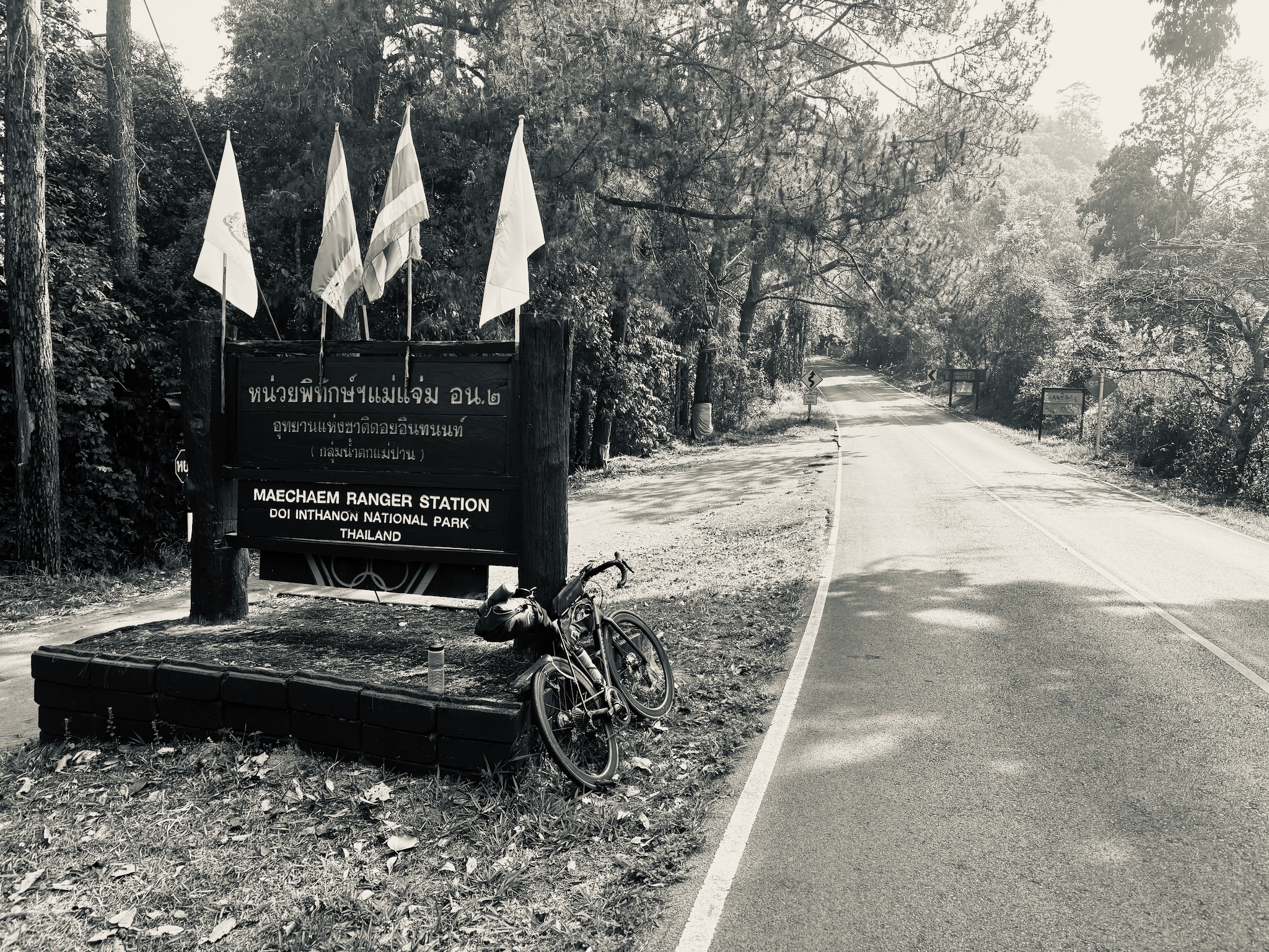
The bike at the Maechaem Ranger Station sign, Doi Inthanon National Park, in black and white
Doi InthanonMaechaem ranger station · turned back here

The loop's final sting is Doi Inthanon, Thailand's highest mountain — but I gave the summit a miss this time. I'd already had a huge day in the hills and needed to get back to Chiang Mai. Worth knowing: you can't ride back down the summit road, you have to take a lift, so it's a there-and-back detour. One for another day.

Trip facts MHS Loop
Distance
521 km
↑ 10,275 m climbed
Duration
5 days
31 hr 30 min moving
When
March 2025
burning season · hazy
Base
Vanilla Residence
Chiang Mai · start & finish
Style
Solo · lightweight
Why
Training
before GranGuanche

Tough but good — exactly what it was meant to be. A beautiful, hard loop, ridden light, that left the legs ready for the islands. I'd go back in a heartbeat, just not in March.

View day 4 on Strava More adventures

Each day is a separate Strava activity — browse forward and back there for the rest.
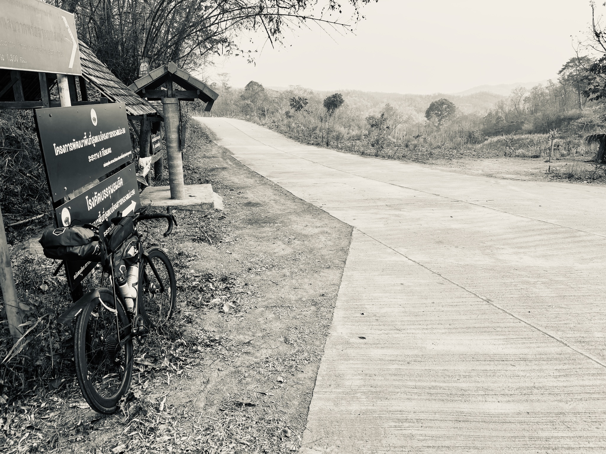
The bike leaned by a project sign on an empty concrete hill road, in black and white
The long way roundEmpty roads, all the way home